Date: February 8, 2026
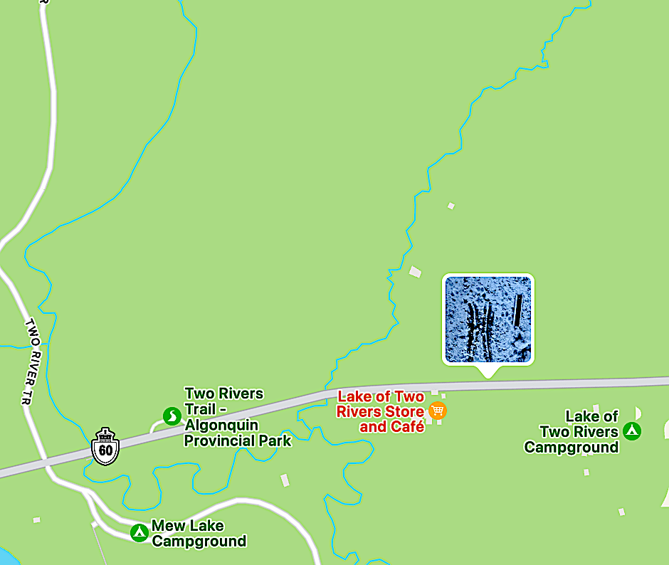
Place: Just east of the Two Rivers Trail on Highway 60, across from the Lake of Two Rivers Store and Cafe. See below:
Weather: extreme cold, initially in the low minus 30’s, and about 2 feet of snow.
References:
– [1] ‘Mammal Tracks & Sign: A Guide to North American Species’, Mark Elbroch, Stackpole Books (1st and 2nd Ed.), 2003/2019
Purpose of trip:
This was the second day the Tracking Apprenticeship group from Earth Tracks met in Algonquin Park for the weekend. The instructors had found evidence of a deer killed by wolves, which became our main focus.
Observations:
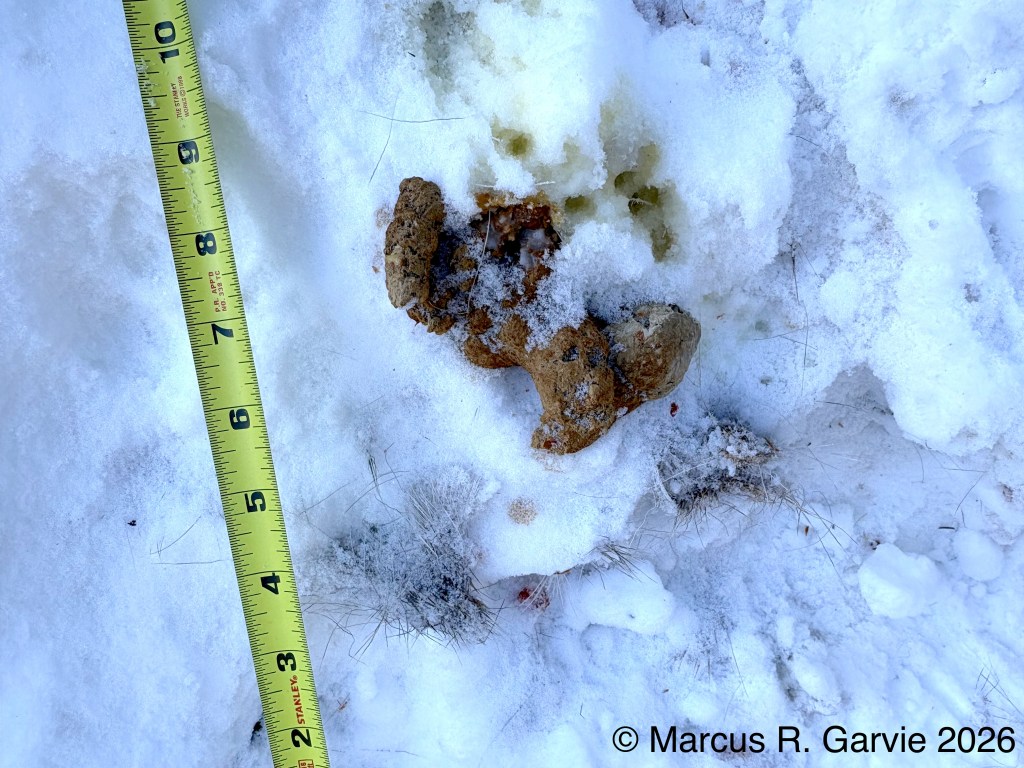
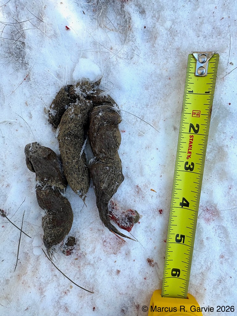
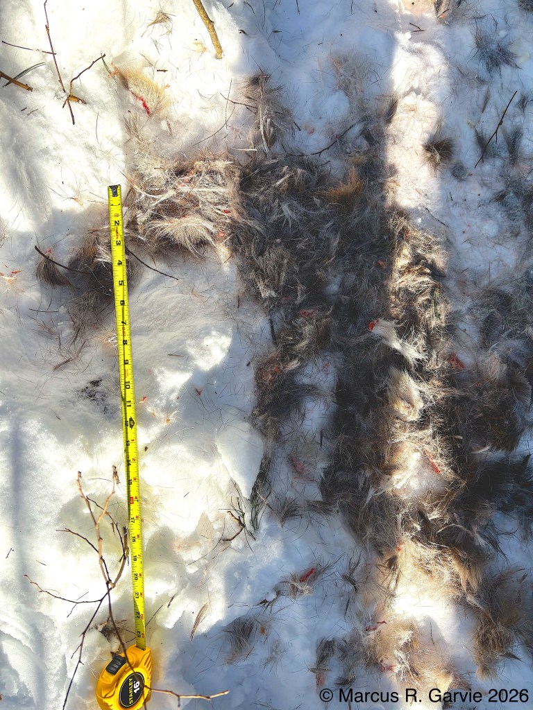
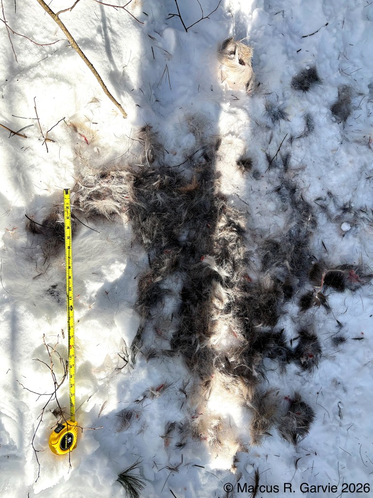
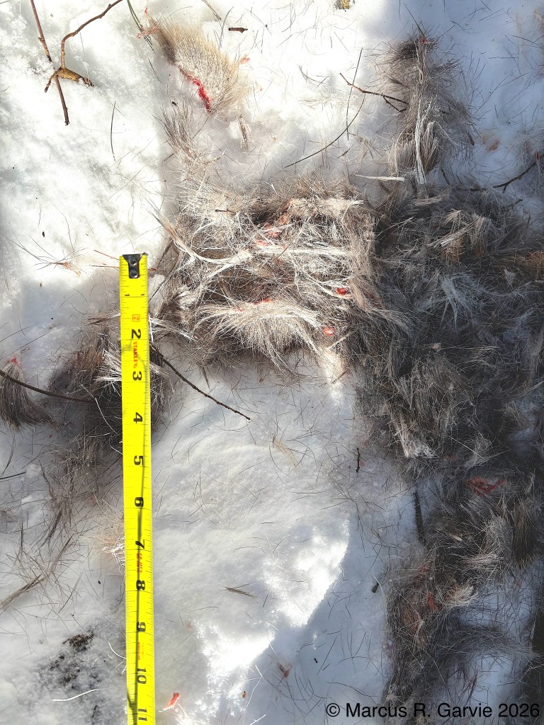
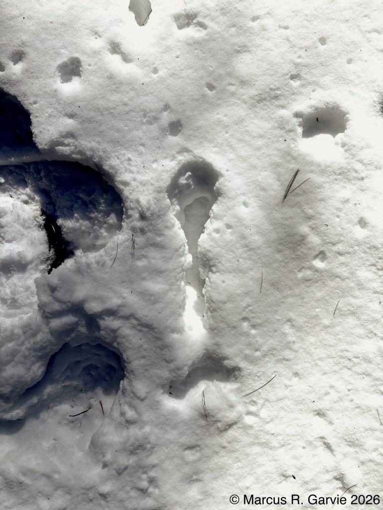
We headed to the wolf kill-site off Highway 60. Climbing up the steep banks of snow on the edge of the highway, there was clear evidence of a kill site, with lots of deer fur, blood, scat and urine.
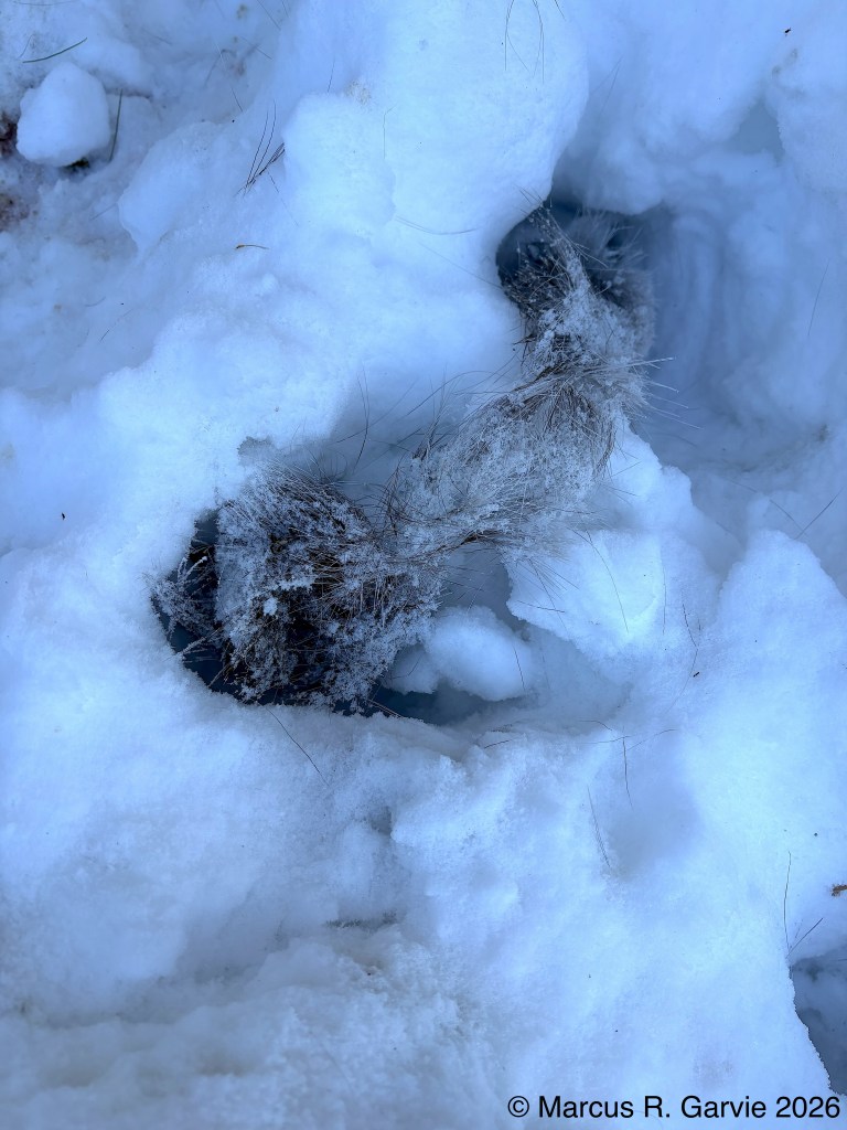
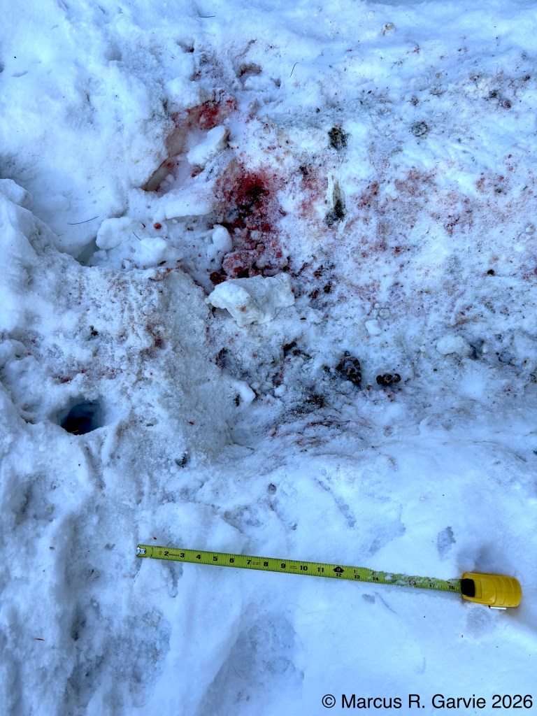
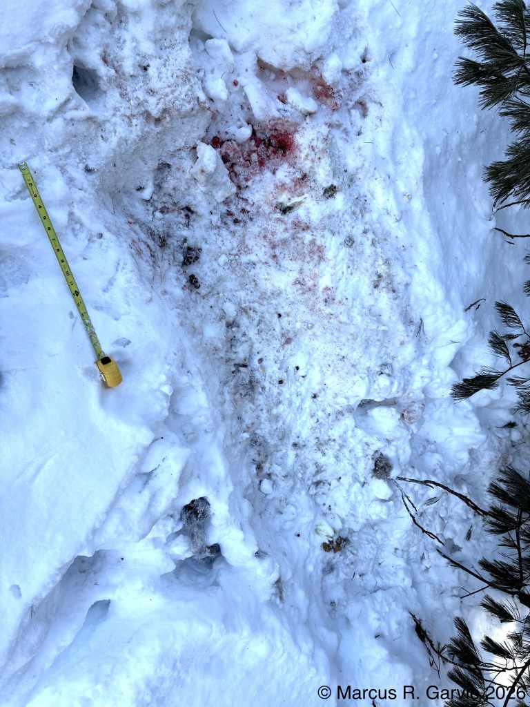
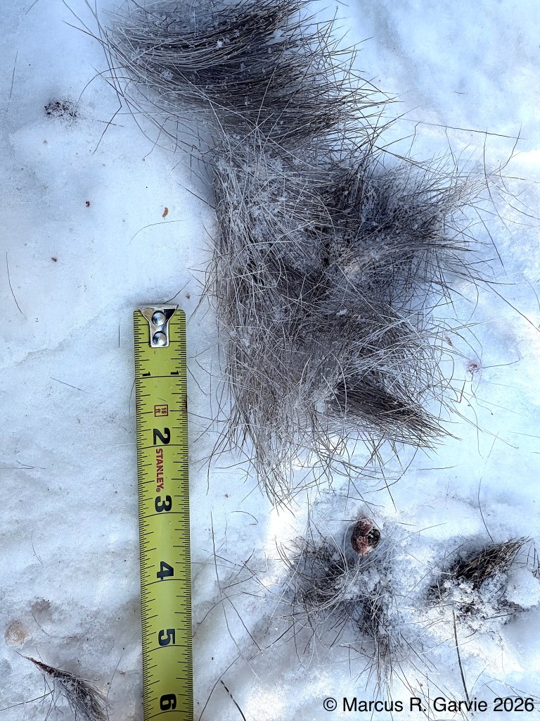
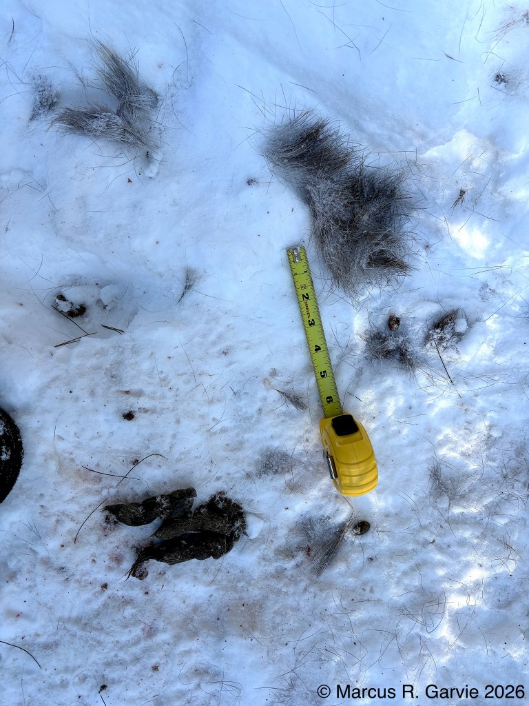
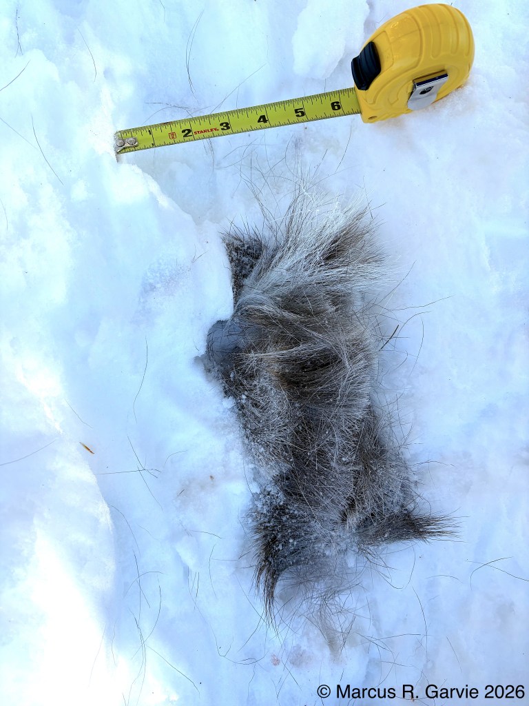
However, we could not find the deer carcass. Did the park staff clear it off the road, or did the pack of wolves drag the carcass off where we could not find it? Some areas had large amounts of fur.
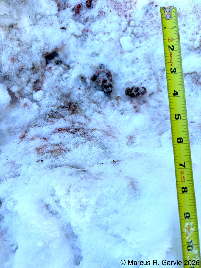
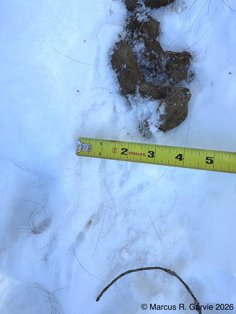
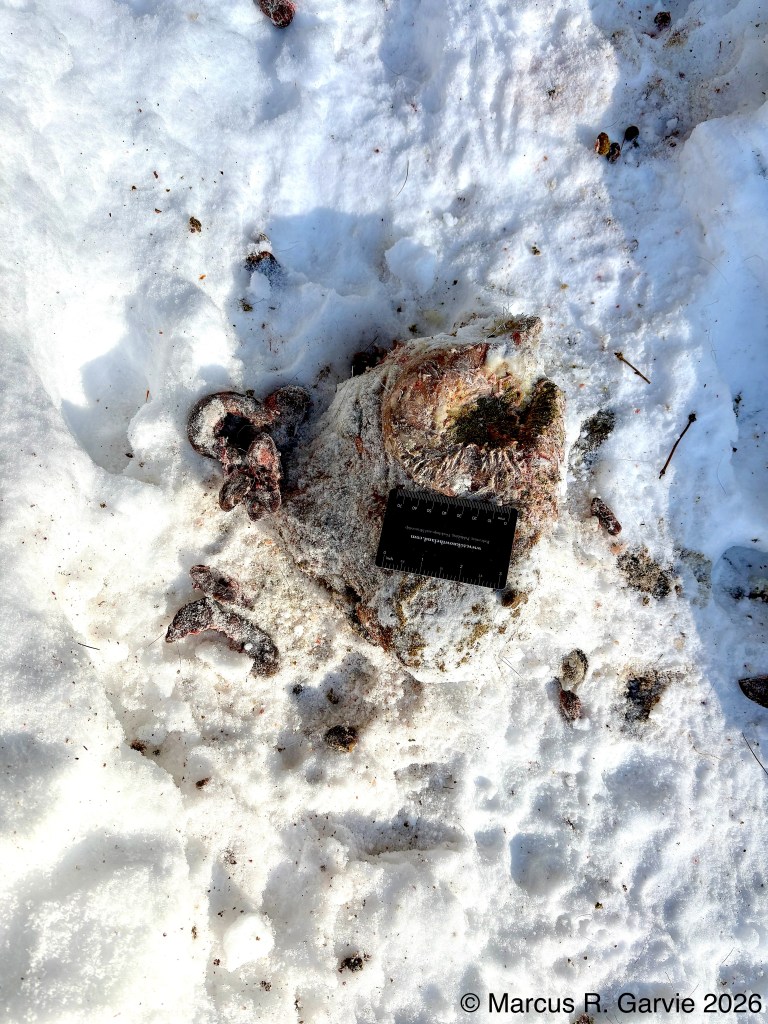
In one spot, we could see the stomach remains (rumen) of a deer. Apparently, they don’t eat this part of the deer, see https://www.balanced-canine.com/post/wolves-do-not-eat-the-stomach-contents-of-their-prey?utm_source=chatgpt.com
At a nearby spot, wolf scratch marks are clearly visible (and some wolf tracks).
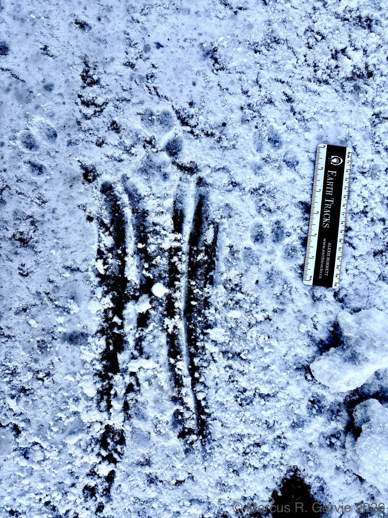
According to Wikipedia
“A combination of apocrine and eccrine sweat glands on the feet allows the wolf to deposit its scent whilst scratching the ground, which usually occurs after urine marking and defecation during the breeding season.”, see
https://en.wikipedia.org/wiki/Wolf_communication?utm_source=chatgpt.com
Another thing I noticed was the large number of wolf trails leading to and from the kill site. The dappled sunlight through the trees and the trampled ground made the trails difficult to photograph.
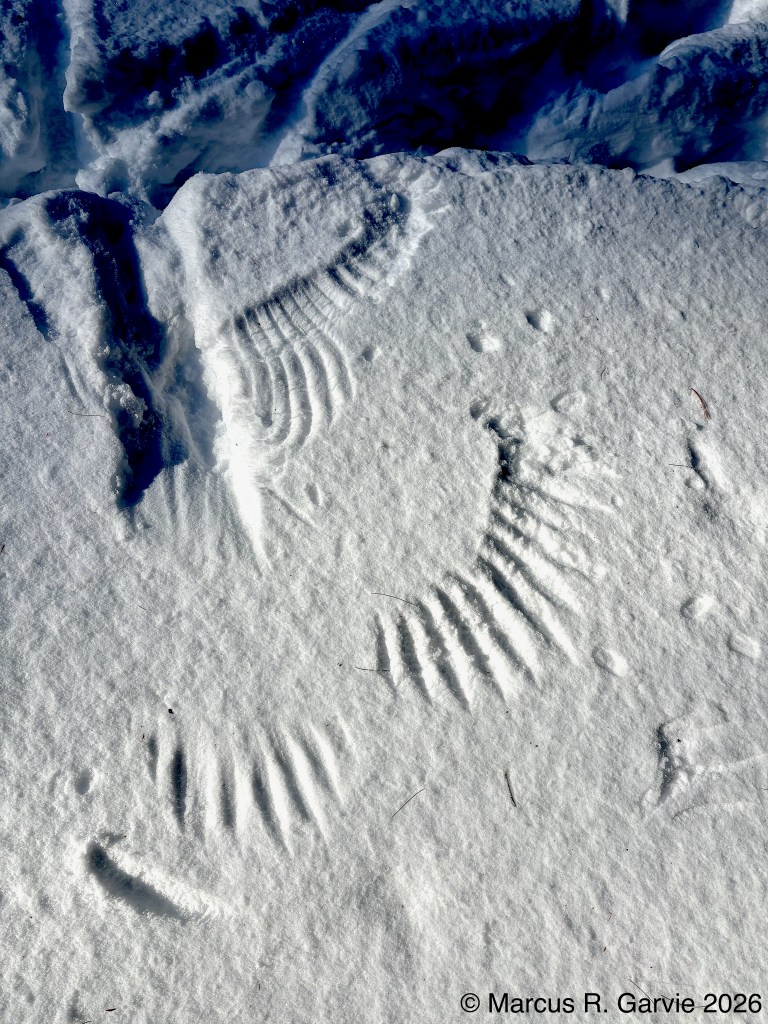
We also saw raven tracks near the kill-site and raven wing prints in the snow.
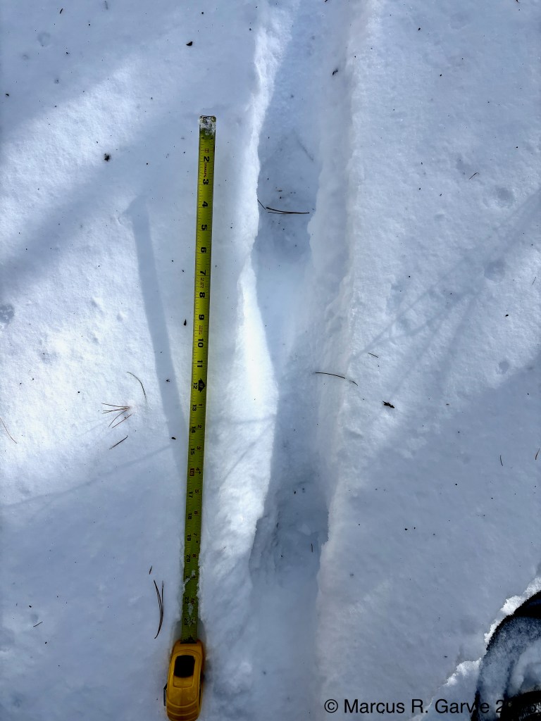
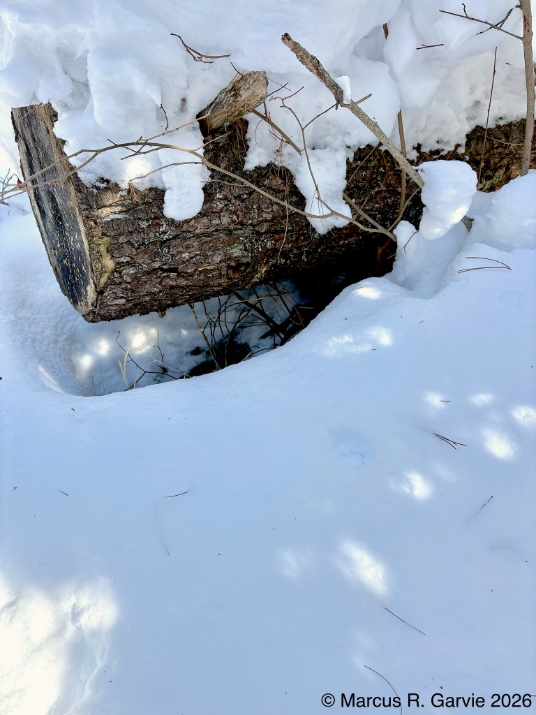
After investigating the kill site, we crossed to the south side of Highway 60 to look at the edge of Lake of Two Rivers. There was a blown-out trail on the lake that people were speculating about. I decided to go back into the forest, following a rough road that led to a service cabin. There were several nice mouse trails leading to and from a large fallen tree.
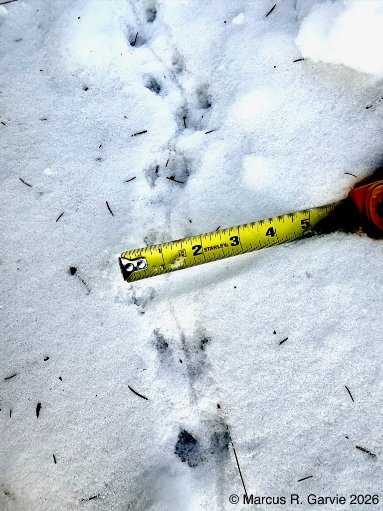
I also observed some nice examples of older deer tracks with an hourglass shape. When a deer steps into deep snow, the hoof first pushes through and makes a larger hole. As the animal drags the foot forward, the narrower ankle makes the thinner middle section. When the hoof lifts out, it enlarges the end of the track again, leaving an hourglass shape.
This is a useful pattern to know because it can persist even when older tracks no longer show the typical heart-shaped imprint.
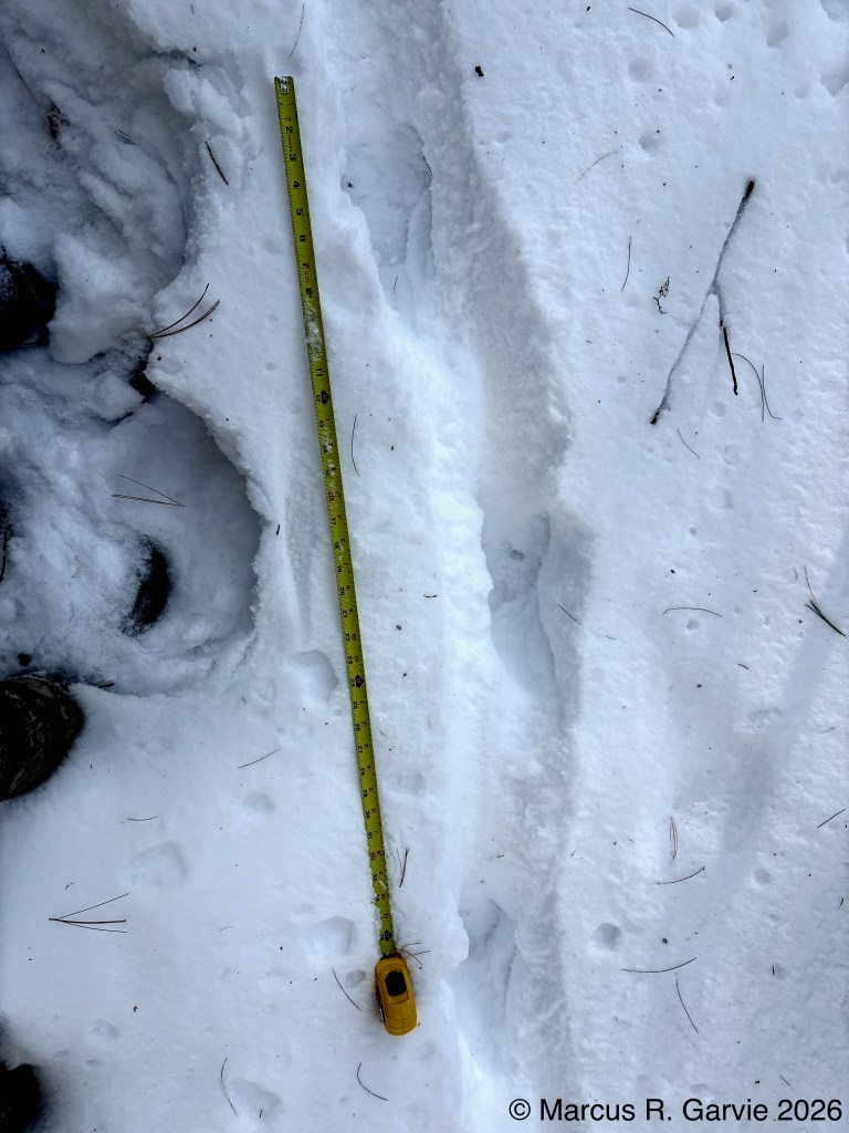
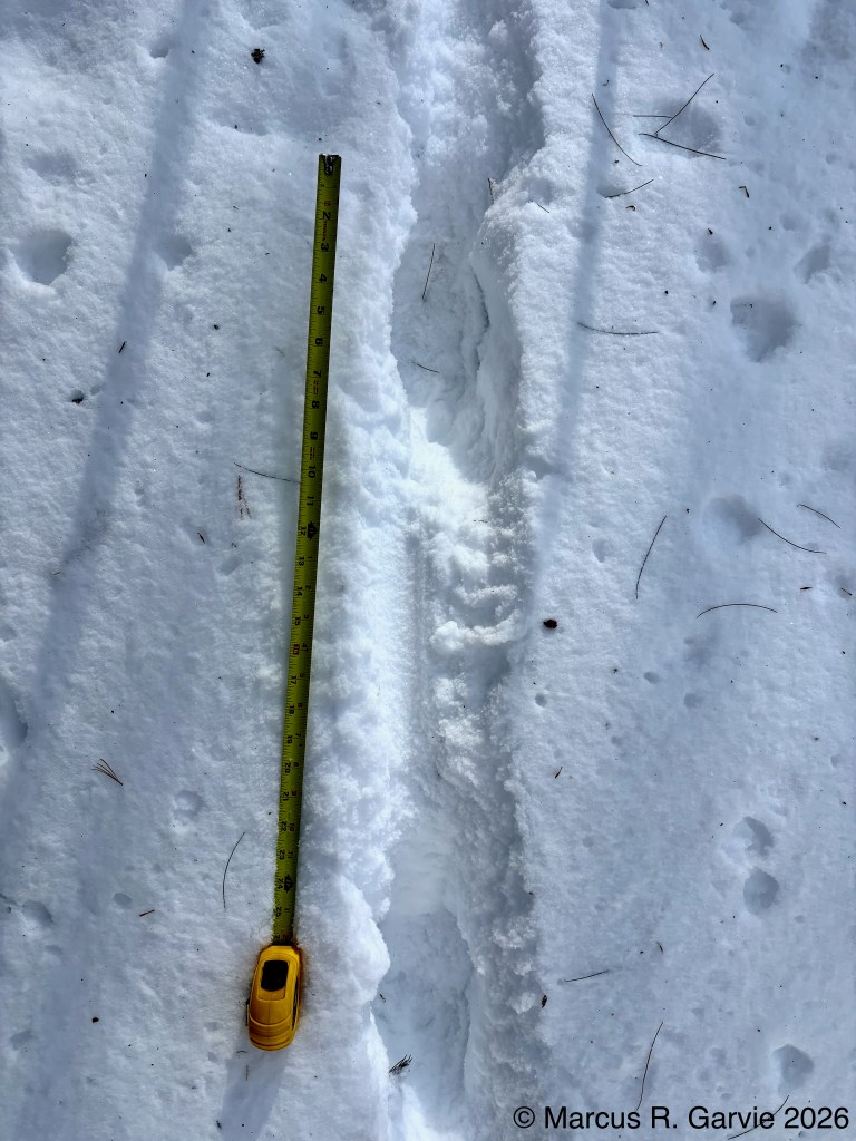
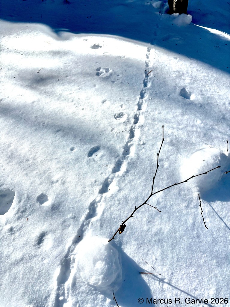
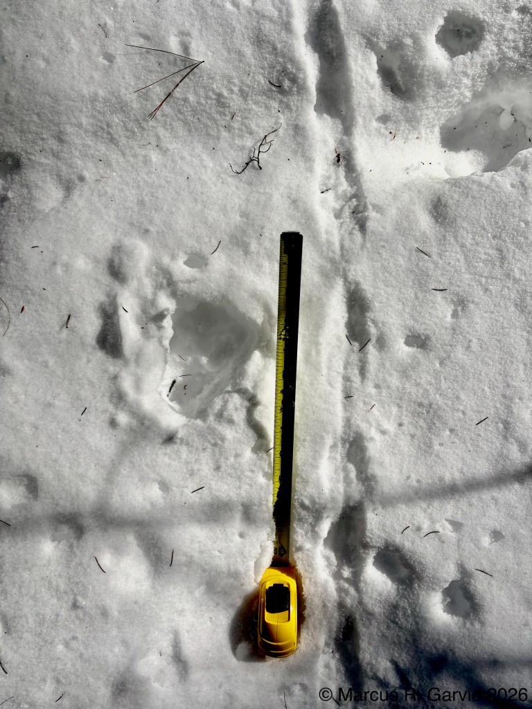
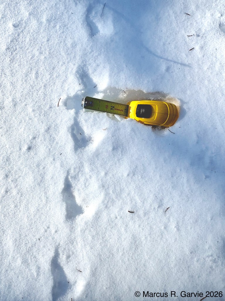
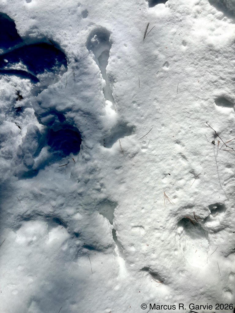
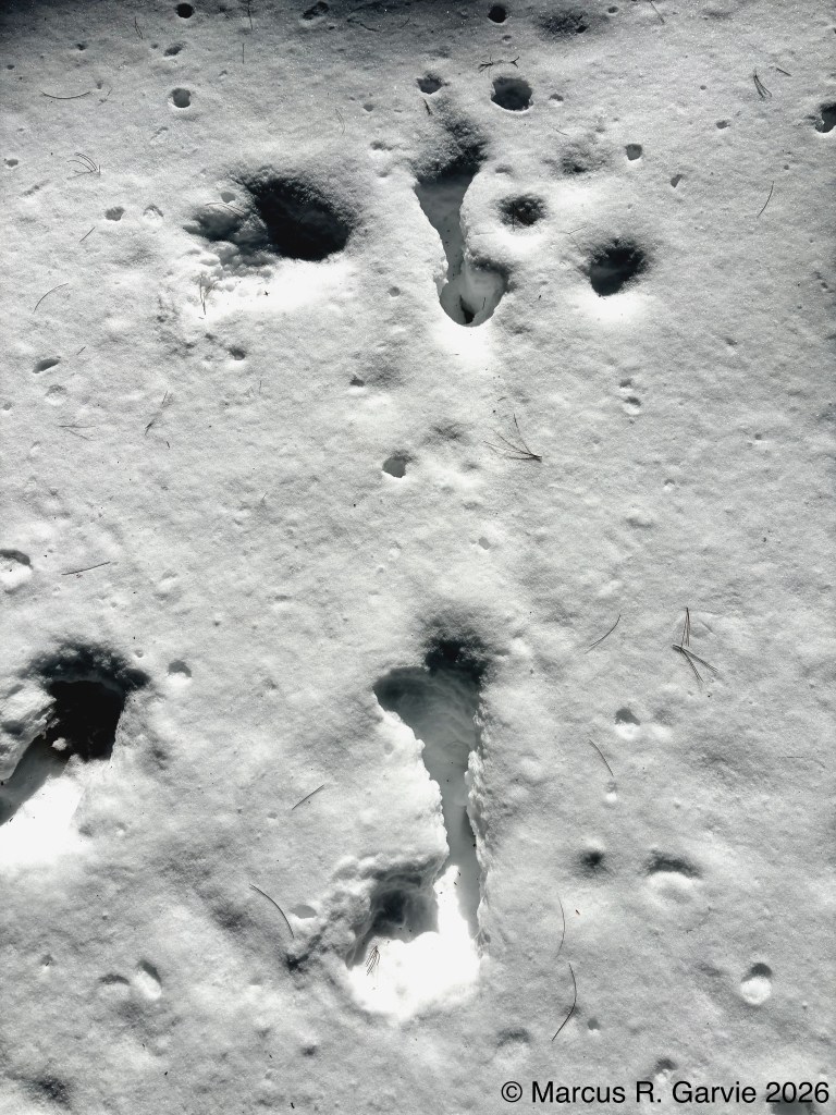
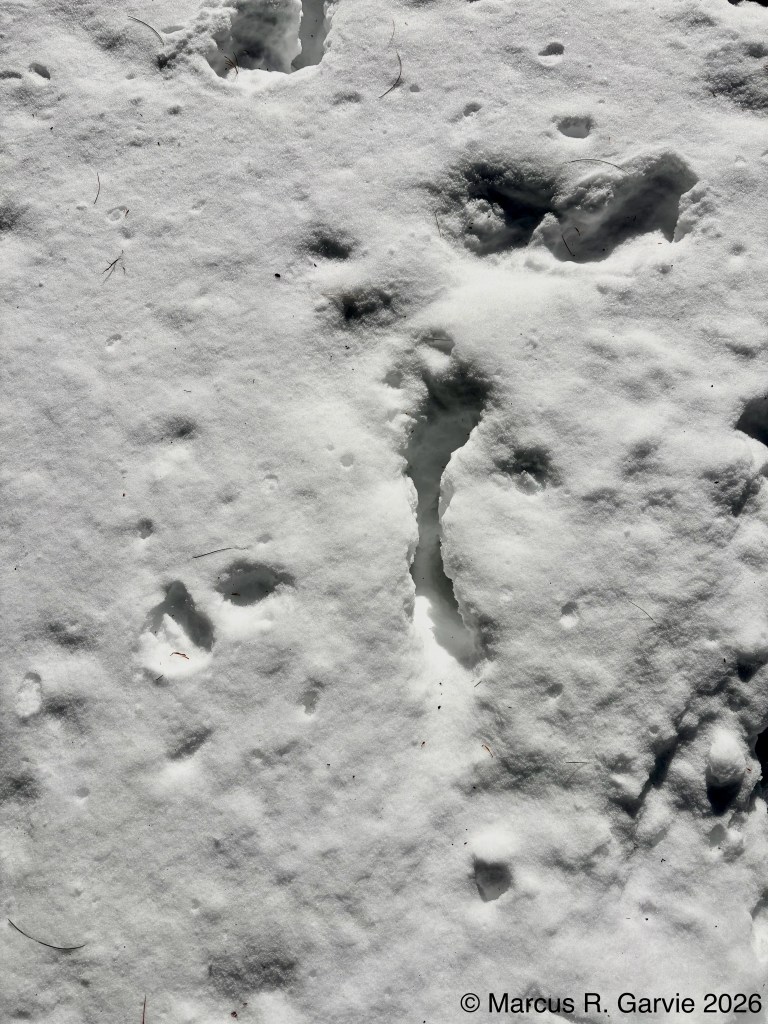
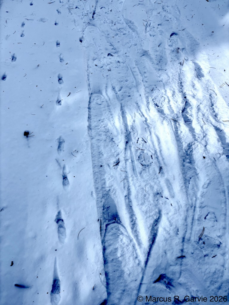
We then crossed Highway 60 again, and the other members of our group followed some of the wolf trails connected to the kill site. I instead looked for tracks along another rough road near the highway. At one point, I found a Red Fox trail and spent some time trying to determine the DOT (direction of travel). There are various indicators of DOT, but most do not apply uniformly to all trails. The one that does seem consistent is when snow has been pushed forward ahead of the foot as it moves, though this can be very subtle.
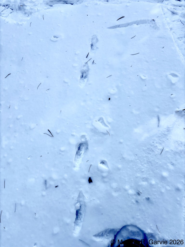
I then began to realize why I was having difficulty. This was not a single trail — there may have been a fox (possibly the same one) travelling one way and then back the other. I am still not sure of the exact DOTs, but I do have photos showing that there were indeed two trails:
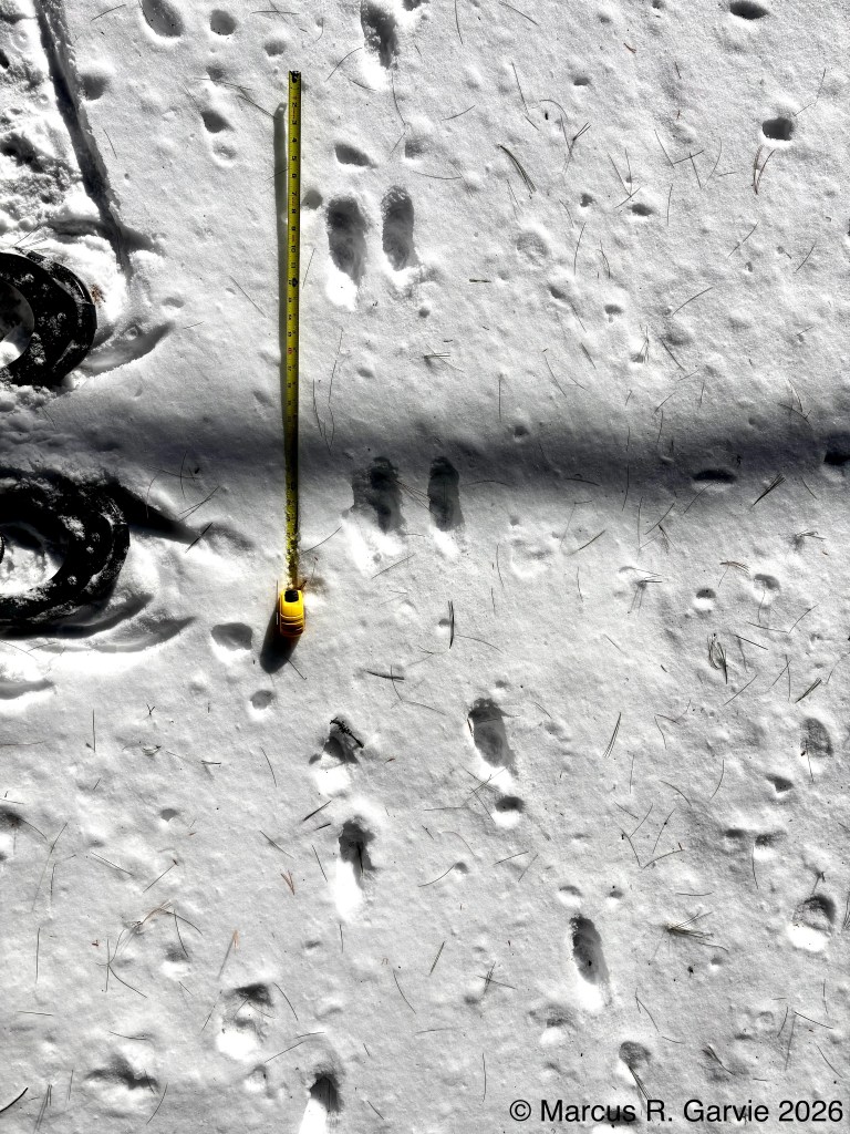
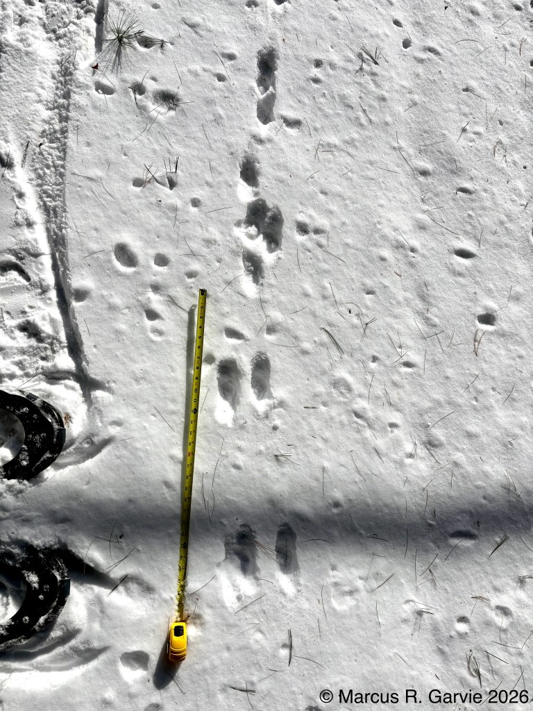
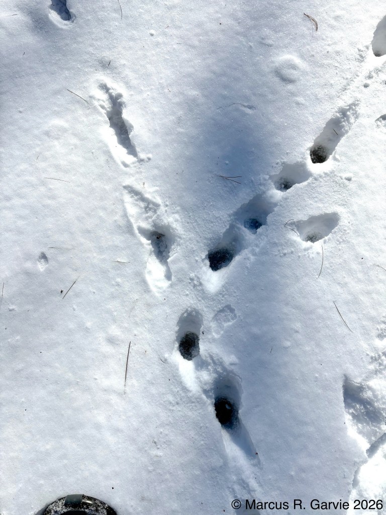
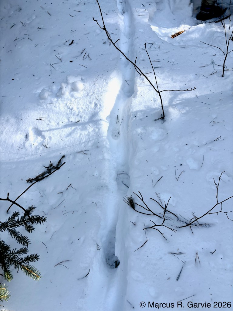
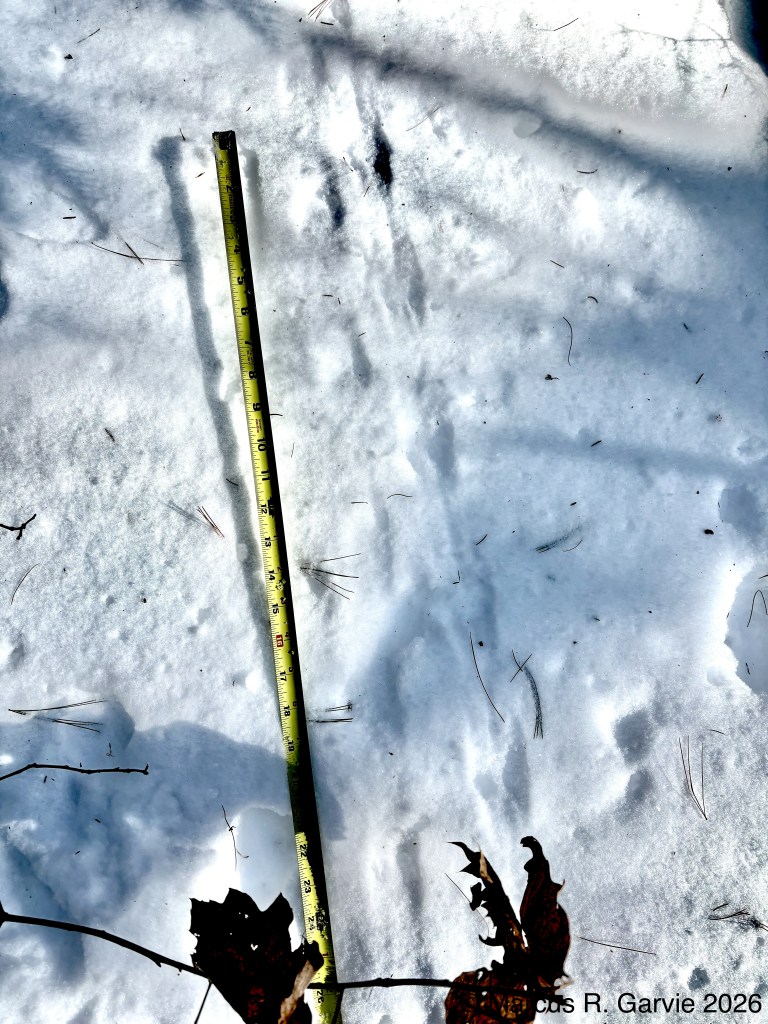
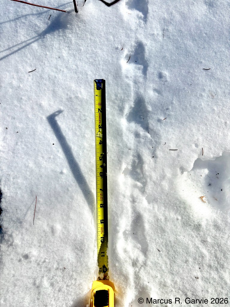
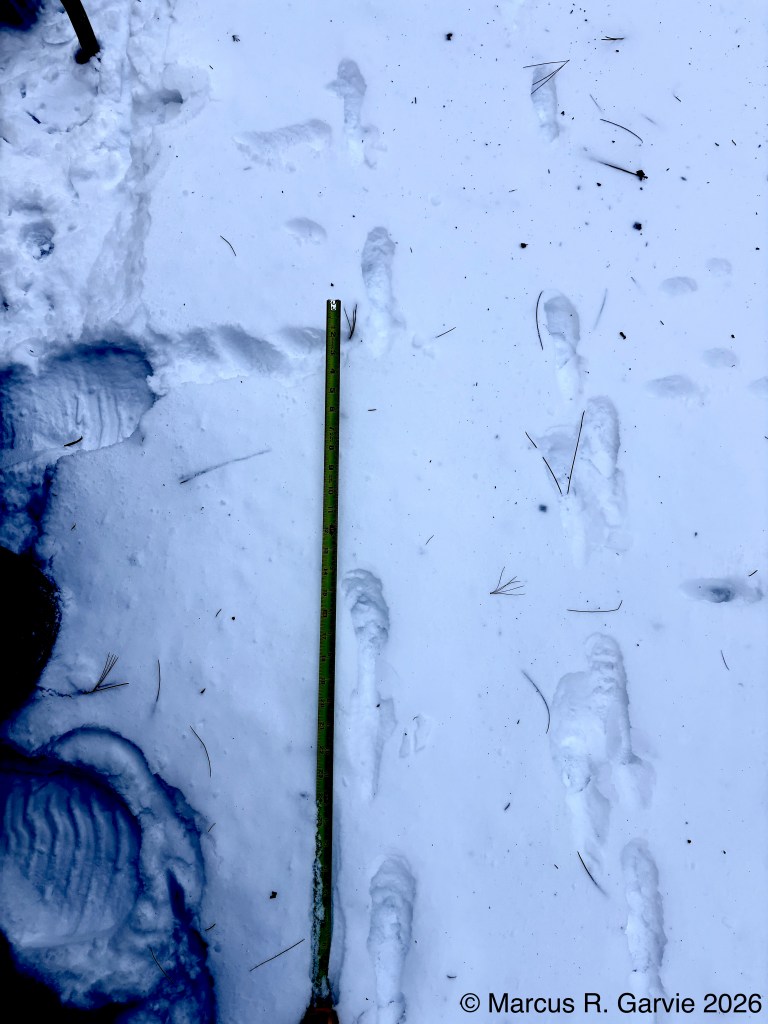
In the first and second photos we see two trails converging into one. In the third photo, the trail diverges into two again.
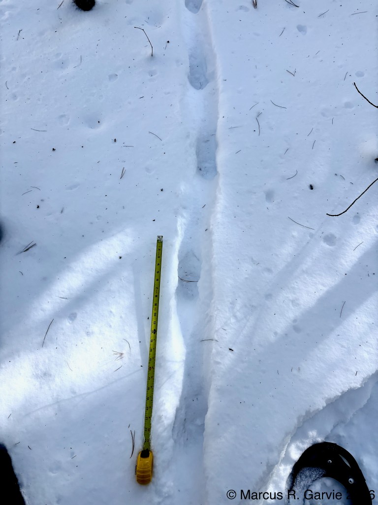
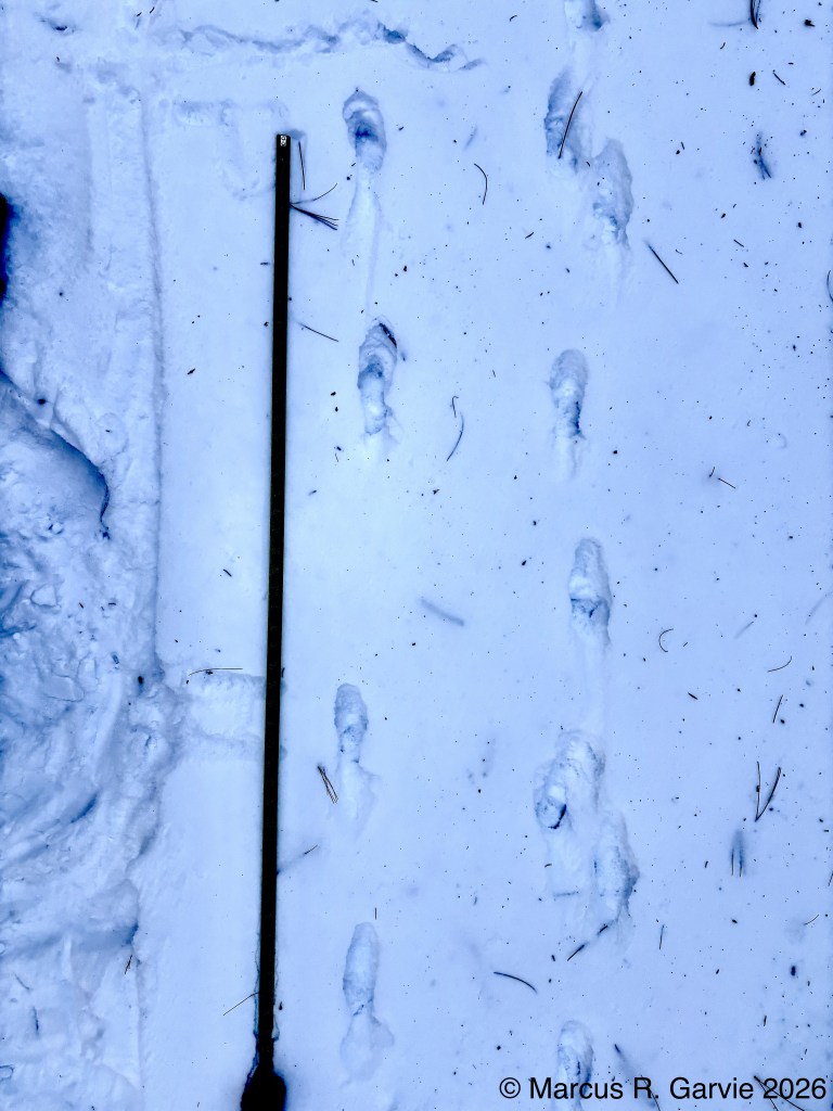
I followed these trails along the rough road away from the highway and noticed that the fox was using a very confusing gait. At first, the tracks appeared in pairs, suggesting a side trot. A side trot is a type of overstep trot, and in my SWOTT tracking course, I learned that “the overstep in a coyote or dog trot will not be more than one third of the step length.” The photos I took clearly show that it is. Furthermore, in a side trot we expect the hind tracks to fall to the outside of the front tracks, so I had to re-evaluate what I was seeing. Careful inspection showed that the tracks were better grouped in fours, with a slightly larger distance between groups than between the front and hind tracks within each group. The gait is what is called a stretch gallop (page 73 of [1], 1st ed.). What makes this confusing is that the tracks lie almost in a straight line, making the groupings hard to see. According to [1], a stretch gallop expresses extreme fear.
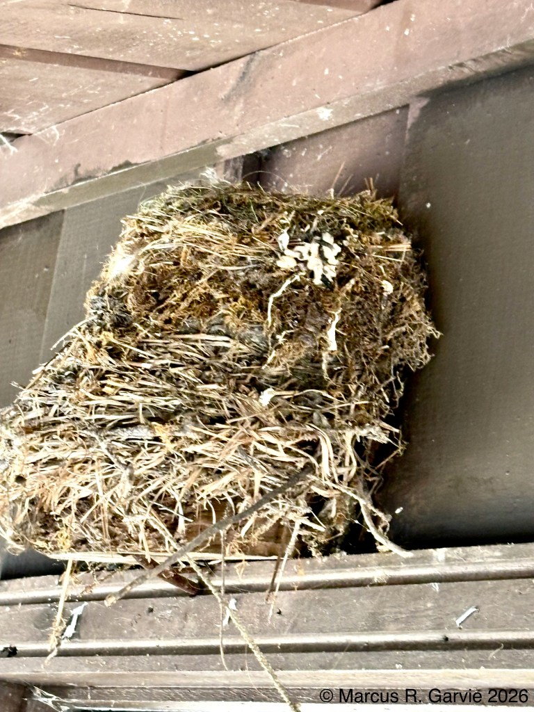
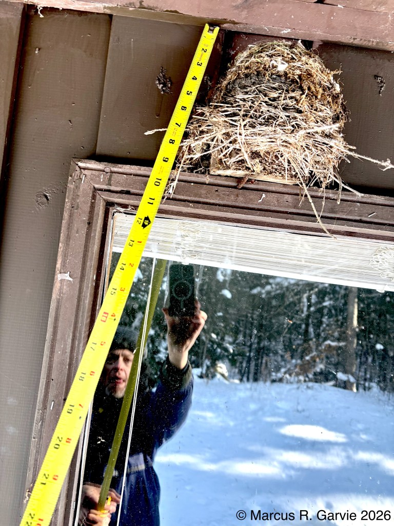
My final set of observations concerned what Byron Murray believed to be the nest of an Eastern Phoebe. One of the characteristics of this nest is the use of moss in its construction.

Leave a reply to steffaniescott Cancel reply